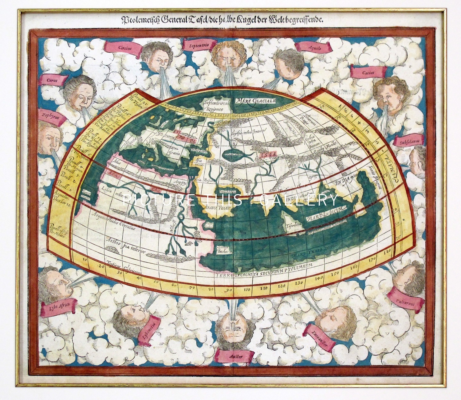
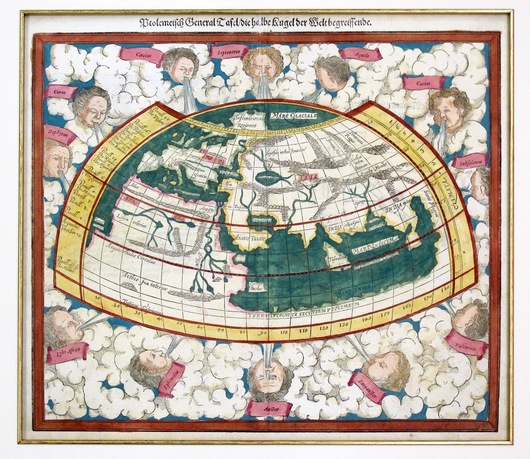
Map of the World on Ptolomaic projection (Circa 1600)
Sebastian Munster
A Ptolemaic world map by German cartographer Sebastian Munster. Ptolemy wrote two major works in the 2nd century, one being the Geographia, the first world atlas. Rediscovered in the middle ages, Ptolemy's Geographia had a great influence on 16th century map-makers.. This is one of the two world maps which Munster first issued in 1540, and its depiction of Ptolemy's world is fascinating. The map shows Arabia, India and Ceylon and the Malayan Peninsula. The map shows a land-locked Indian Ocean. Besides interesting geography,the map is highly decorative, with the world surrounded by the twelve ancient winds.
This map has later hand colouring and is from a circa 1600 edition of Munster's atlas.